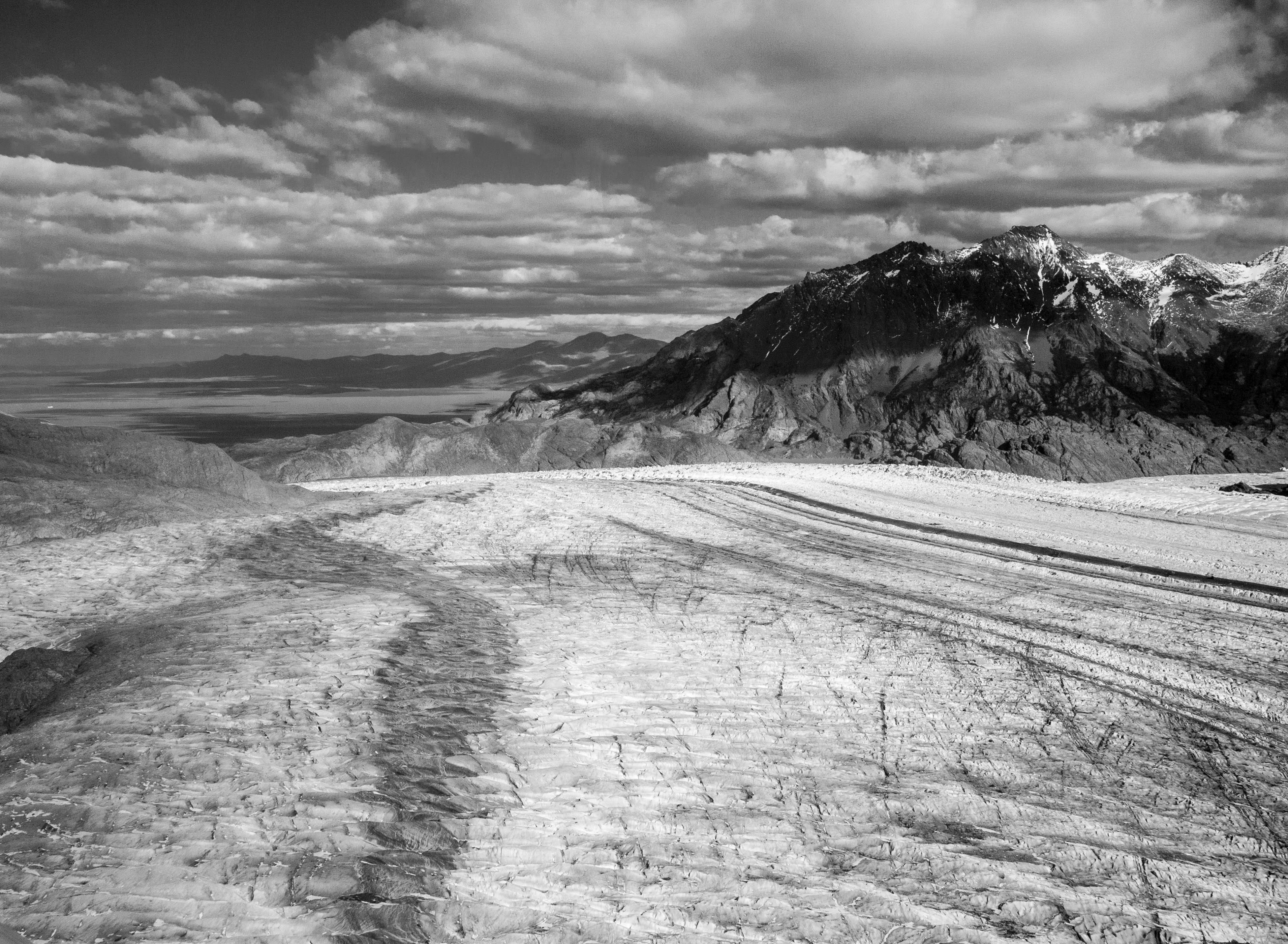
Patagonia ice sheets thicker than previously thought, study finds
UCI, South American glaciologists characterize protected region with new methods

Irvine, Calif., June 3, 2019 – After conducting a comprehensive, seven-year survey of Patagonia, glaciologists from the University of California, Irvine and partner institutions in Argentina and Chile have concluded that the ice sheets in this vast region of South America are considerably more massive than expected.
Through a combination of ground observations and airborne gravity and radar sounding methods, the scientists created the most complete ice density map of the area to date and found that some glaciers are as much as a mile (1,600 meters) thick. Their findings were published today in the American Geophysical Union journal Geophysical Research Letters.
“We did not think the ice fields on the Patagonian plateau could be quite that substantial,” said co-author Eric Rignot, Donald Bren Professor and chair of Earth system science at UCI. “As a result of this multinational research project, we found that – added together – the northern and southern portions of Patagonia clearly hold more ice than anticipated, roughly 40 times the ice volume of the European Alps.”
Patagonia is home to the largest ice fields in the Southern Hemisphere outside Antarctica, and its glaciers are among the fastest-moving in the world. Surface elevation observations from satellite radar altimetry and optical imagery have shown that most of the ice slabs in the region have been thinning rapidly over the past four decades. The contribution to global sea level rise from their melting has increased at an accelerating pace during that time.
Study co-author M. Gabriela Lenzano, a researcher with Argentina’s National Scientific and Technical Research Council, said the results will “help the scientific community better explain the interactions and consequences of ice sheet dynamics and climate on this cold environment – and the impact on communities and ecosystems downstream.”
With more precise knowledge of the size and shape of the glaciers in this highly protected region – much of which is contained in one of the world’s largest national park systems – researchers and planners will be able to more accurately model the effects of global warming and plan for potential disruptions in freshwater resources that serve its inhabitants.
“This is why having accurate maps of the ice thickness is a priority,” said lead author Romain Millan, who was a UCI graduate student in Earth system science for the bulk of this research project and is now a postdoctoral scholar at the Institute of Environmental Geosciences in Grenoble, France. “It is fundamental to get the right contours and depth of the glacial valleys; otherwise, simulations of glacier retreat will always be wrong.”
The difficulty in quantifying bed elevation and thickness has limited scientists’ ability to predict the region’s potential contribution to sea level rise; model glacier dynamics in response to climate change; study the impacts on freshwater resources; or prepare against such hazards as lake outburst flooding, which occurs when a dam containing a glacial lake fails.
Past attempts to gauge the total heft of the ice have fallen short, because traditional sounding techniques were limited to the shallowest sections of the ice field. Another obstacle has been the temperate nature of Patagonian ice. The frozen water in the glaciers is near its melting point from the top to the bottom; the higher water content makes this kind of ice more difficult to measure with radar.
To overcome these challenges, the scientists took to the skies, flying over broad stretches of terrain in helicopters and fixed-wing aircraft equipped with gravimeters, devices that can determine the ice volume by reading changes in Earth’s gravitational field. The addition of data collected by glaciologists from Chile’s Center for Scientific Studies, who had mapped ice thickness with low-frequency airborne radar sounding since 2002, was instrumental in creating a more comprehensive description of the area’s conditions.
“This research has been enhanced and successfully completed thanks to our collaboration with the Rignot group at UCI and our Argentinean colleagues, with whom we have worked at both sides of the southern Patagonia ice field – disregarding the political border that divides the region,” said co-author Andrés Rivera of the Chilean center.
Support for this project was provided by the Gordon and Betty Moore Foundation, NASA’s Jet Propulsion Laboratory and NASA’s Operation IceBridge mission.
About the University of California, Irvine: Founded in 1965, UCI is the youngest member of the prestigious Association of American Universities. The campus has produced three Nobel laureates and is known for its academic achievement, premier research, innovation and anteater mascot. Led by Chancellor Howard Gillman, UCI has more than 36,000 students and offers 222 degree programs. It’s located in one of the world’s safest and most economically vibrant communities and is Orange County’s second-largest employer, contributing $5 billion annually to the local economy. For more on UCI, visit www.uci.edu.
Media access: Radio programs/stations may, for a fee, use an on-campus ISDN line to interview UCI faculty and experts, subject to availability and university approval. For more UCI news, visit wp.communications.uci.edu. Additional resources for journalists may be found at communications.uci.edu/for-journalists.


