UC Irvine team says urban street networks, building density shape severity of floods
Researchers’ new analytical model can assess neighborhood-level hazards globally
August 19, 2024

Researchers’ new analytical model can assess neighborhood-level hazards globally

Brett Sanders will collaborate on three-year project flood modeling in Miami-Dade County
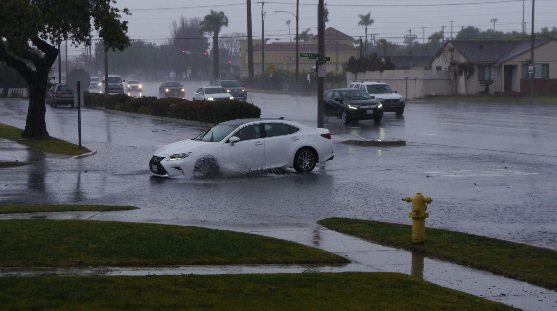

Brett Sanders, UCI professor of civil and environmental engineering, has been focusing his research efforts on understanding flood risk to Southern California’s communities. Over the years he has studied the impact of climate change-caused sea level rise along California’s coast. Lately he has been examining flood risk to regions further inland, in many cases affecting […]
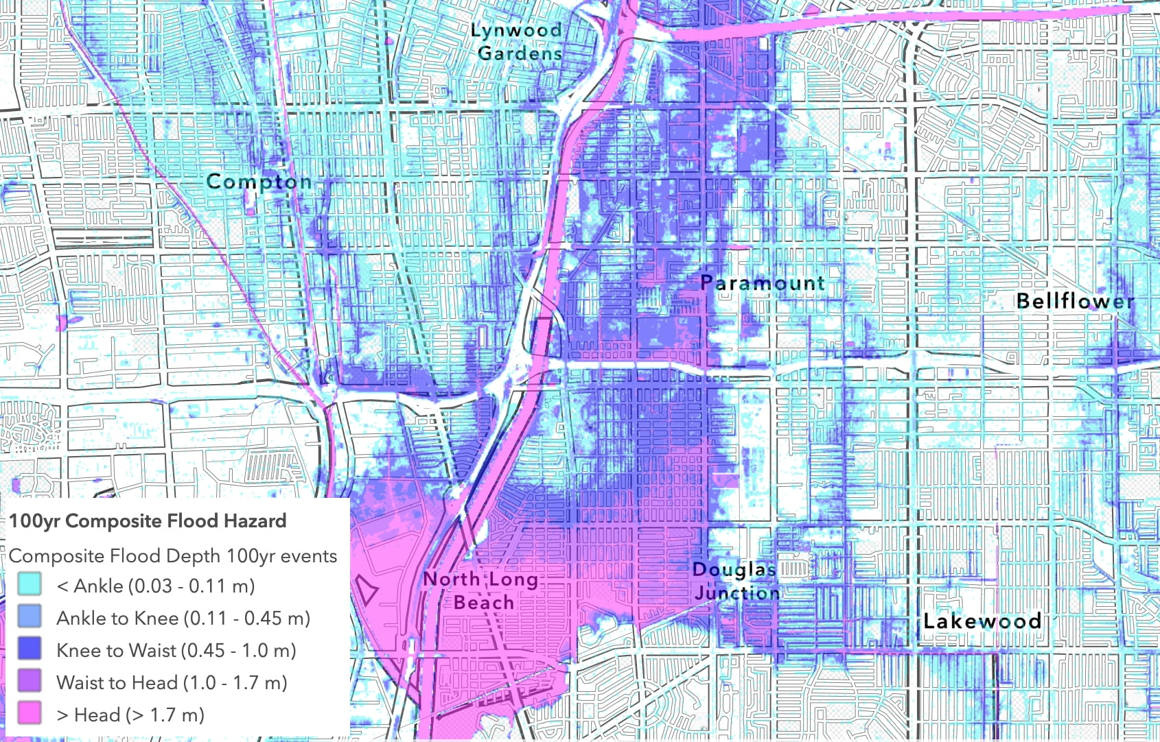
High-resolution platform assesses hazards every 10 feet across 2,700-square-mile expanse

New techniques to measure coastal topography will improve understanding of flood risk
Cross-disciplinary expertise shared through stories, videos, podcasts and more
Interdisciplinary researchers will examine infrastructure and public preparedness

Better management of groundwater could help, says Nicola Ulibarri

Community involvement, high-resolution maps lead to improved risk management
By hoarding water underground, vegetation will help saturate soil, boosting rain runoff