Beach dynamics
New course helps engineers understand the effects of human activity on a changing coastline
In December 2018, visitors at Dana Point’s Capistrano Beach watched in disbelief as the iconic 250-foot boardwalk collapsed into the ocean – a victim of severe erosion.
A month later at nearby Doheny Beach, high waves battered parking lots and infrastructure until concrete and pavement crumbled. As beach after beach is besieged, Southern Californians are facing the dismal reality of a coastline ravaged by human activity, and according to a report released by the state, it’s going to get worse.
“California’s Fourth Climate Change Assessment” concludes that without large-scale interventions, an expected sea level rise of one to two meters will wipe out up to 67 percent of Southern California beaches. By the end of this century, California’s once sandy coastline will have disappeared, leaving behind little more than bedrock and bare sea cliffs. Not only are beach access and a billion-dollar tourism economy at risk, but so, too, is the first line of defense against the impact of coastal storms.
Brett Sanders is a UCI civil and environmental engineer who leads the Flood Hazards and Poverty division of the UCI Blum Center for Poverty Alleviation, headquartered in CALIT2. Sanders has spent the last decade studying coastal flood risks and developing information systems with stakeholders to support flood-risk adaptation measures. This year, he introduced a new beach dynamics course for graduate students. “Engineers need to understand how beaches are changing and find ways to manage the impacts,” Sanders says.
The class, a partnership with California State Parks and the Crystal Cove Conservancy, provides a mix of field-based and classroom-based instruction. Students visit Southern California beaches, see erosion firsthand and develop beach monitoring expertise.
“Coastal communities are increasingly confronting erosion issues,” Sanders says. “The follow-up questions are, ‘Why is this happening?’ and ‘How can we address it?’”
Answers require understanding multiple issues: rivers and cliff erosion, which supply sand to the coastal zone; barriers to supplies, such as dams and coastal structures; and the wave climate. “You start looking at the factors that supply sediment. Then you look at how the waves and tides shape sand movement, and how this will change in a warming climate with higher sea levels. This is the perspective we want engineering students to bring to future challenges,” Sanders explains.
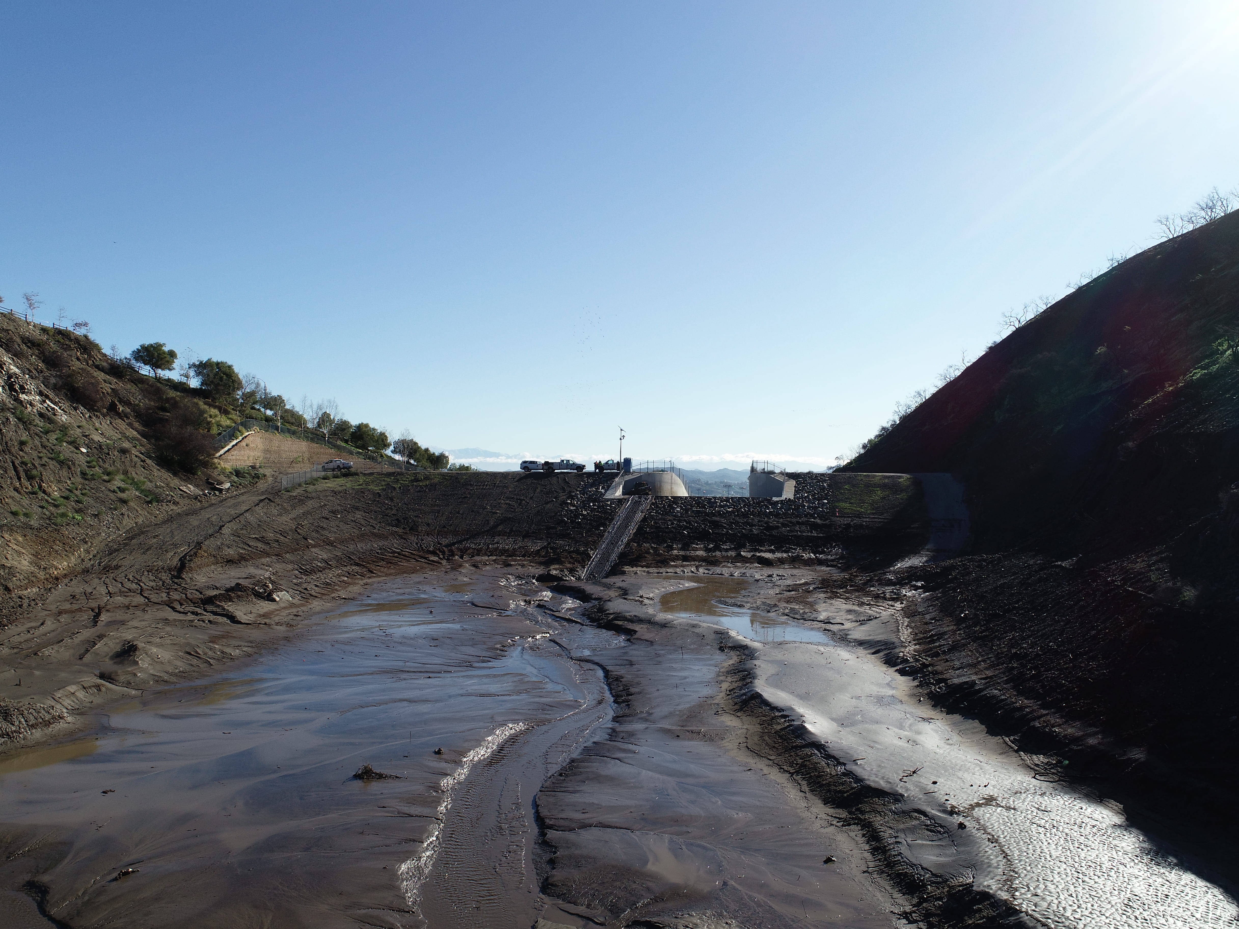
Sanders’ research emphasizes the role of human activity. Across Southern California, storm water infrastructure has been designed to capture sediment in the foothills so flood control channels don’t get choked with debris and trigger inland flooding. The unfortunate consequence is a deficit of sand at the coast, increased erosion and coastal flooding. This can lead coastal property owners to construct riprap (rock piles) and other forms of armoring to limit damage to their properties. “Unfortunately, this only accelerates beach erosion,” Sanders says.
Preserving beaches as sea levels rise will be costly and tricky. One strategy used in Southern California for decades is known as beach nourishment. It involves importing sand to the site, an often-expensive proposition.
“The most cost-effective projects rely on local sources of sediment, sometimes available just offshore of the impacted beach,” says Sanders. But sometimes even costly projects fail – the sand may quickly disappear or have negative impacts.
Retreat – moving roads and infrastructure to higher ground, is another option, one that Sanders believes engineers must consider. However, there is growing interest in hybrid systems or “living shorelines,” which combine elements of green and gray (concrete) infrastructure.
Sanders is inspired by Katwijk Beach in the Netherlands, where a reinforced underground concrete parking structure, which doubles as an emergency flood wall, is covered with sand and vegetation to create a beach dune habitat. “Businesses get parking spots for customers, residents get beach access, the environment gets critical habitat, the owner gets parking revenue, and everybody is protected from floods – it’s a brilliant project.”
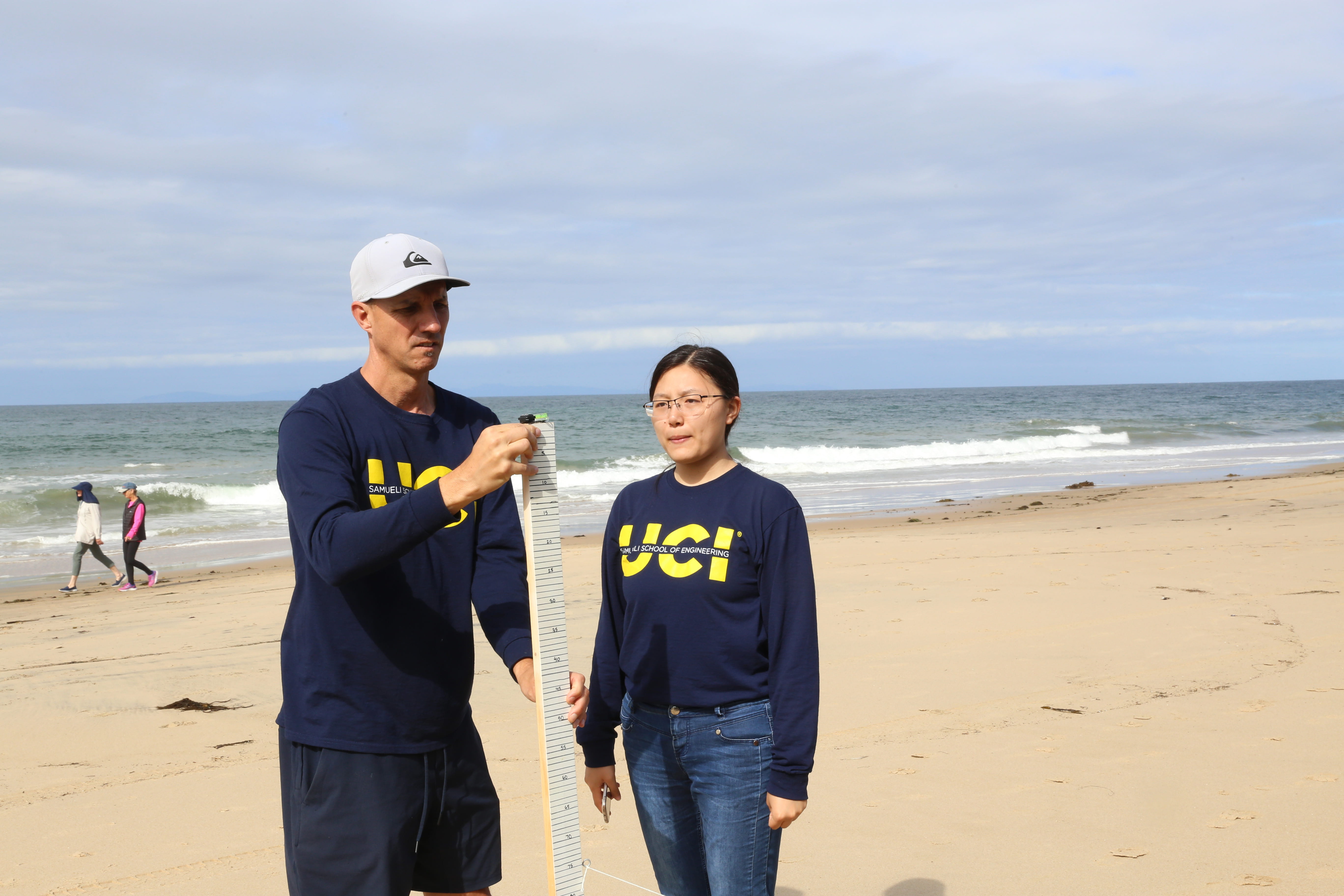
Developing a systems viewpoint of sediment dynamics is critical. Sanders’ group uses unmanned aerial vehicles outfitted with high-resolution onboard digital cameras, and with support of the California State Parks, they’ve begun monthly monitoring of south coast beaches. In as few as 10 minutes, at an altitude of about 80 meters, hundreds of images are captured and combined with computer vision algorithms to construct a detailed 3D image of the coastline with unprecedented spatial resolution.
“Computer visualizations are an extremely powerful way for anyone to immediately appreciate complexity in beach dynamics and to engage more deeply and thoughtfully in discussions about the risks and how to manage them,” Sanders says.
He believes engineers must do a better job of engaging the community when designing civil infrastructure projects, a conviction he emphasizes in his graduate courses. “I’d like students to be aware that visualization tools, models and simulations can not only be useful for helping stakeholders understand a proposed project, but also for the engineer to learn from stakeholders about what they care about and how these concerns can be addressed,” he says. “Engineers can’t just read a technical spec, design a project and share it with the public. The project design has to reflect what the community cares most about.”
Crystal Cove State Park serves as a microcosm of the beach management challenges facing California. For several years, Sanders has served as an adviser to the Crystal Cove Conservancy, helping develop a new high school-level coastal dynamics course funded by the California Coastal Commission. “We bring students from inland communities to the beach and for many, it’s their very first time,” he says. “It’s critically important that all Californians have access to the beach and value it, not just those in coastal communities.”
Regular shoreline monitoring and mapping by high school students is now providing valuable data for research about climate change and coastal management. Sara Ludovise, director of education for the Crystal Cove Conservancy, expects to expand the program. “Next year we’d like hundreds of high school students to be involved,” she says.
The alarm has sounded about the threat to Southern California’s picturesque beaches. Thanks to Sanders, the next generation is learning the processes by which beaches are changing and helping develop solutions that reflect the values and resources of the community. Says Sanders: “There is going to be a lot of work for them.”