UCI team creates software to help scientists make better sense of data on polar weather
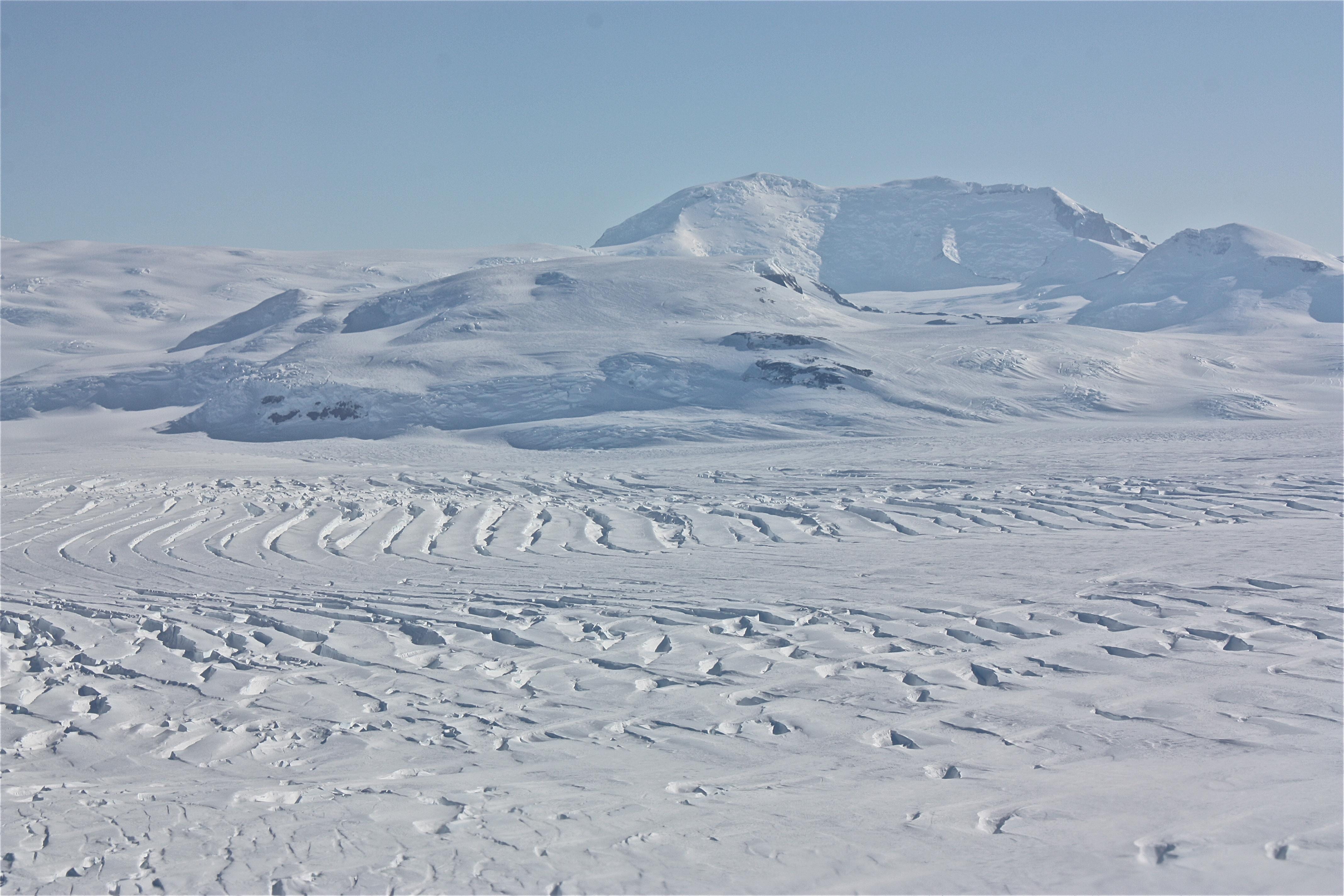
Antarctica and Greenland are dotted with automated weather stations, 30-foot metal tubes equipped with sensors to record temperature, atmospheric pressure, wind speed and other conditions. The outposts gather a lot of useful readings for scientists hoping to understand the transformation of polar environments brought on by climate change, but data formats vary from station to station, posing a challenge to the climatologists who desire quick access to accurate, timely information. “AWS networks use different ‘home-brewed’ data formats from the 1980s and ’90s, making them difficult to parse,” said Charlie Zender, UCI professor of Earth system science. “The data are like a kid’s bedroom after a sleepover.” To fix this, he and his team have created software that converts messy AWS data to a new, clean format. Zender dubbed the software “Justified Automated Weather Station” in homage to the justify tool on Microsoft Word, which formats mismatched paragraphs into orderly rectangles. He and his group are currently delivering this free software – funded by the NASA Earth Science Technology Office – to climate database managers, who can then make AWS data widely available and accessible for scientists. According to Zender, the goal of the project is to help experts better understand what’s driving the melting of ice sheets in the Arctic and Antarctic regions. In addition to satellites, which help researchers see changes on a wider scale, “we need AWS data to see what’s happening on the surface,” he added. Zender acknowledges that lack of manpower and funding could hinder how quickly scientists use JAWS but hopes that its potential and availability will appeal to many in the climate research community.