NASA funds UC Irvine-led mission to record changes in Antarctica’s ice sheet
Researchers will use data from upcoming and existing international satellite missions
October 26, 2023
Researchers will use data from upcoming and existing international satellite missions

New techniques to measure coastal topography will improve understanding of flood risk

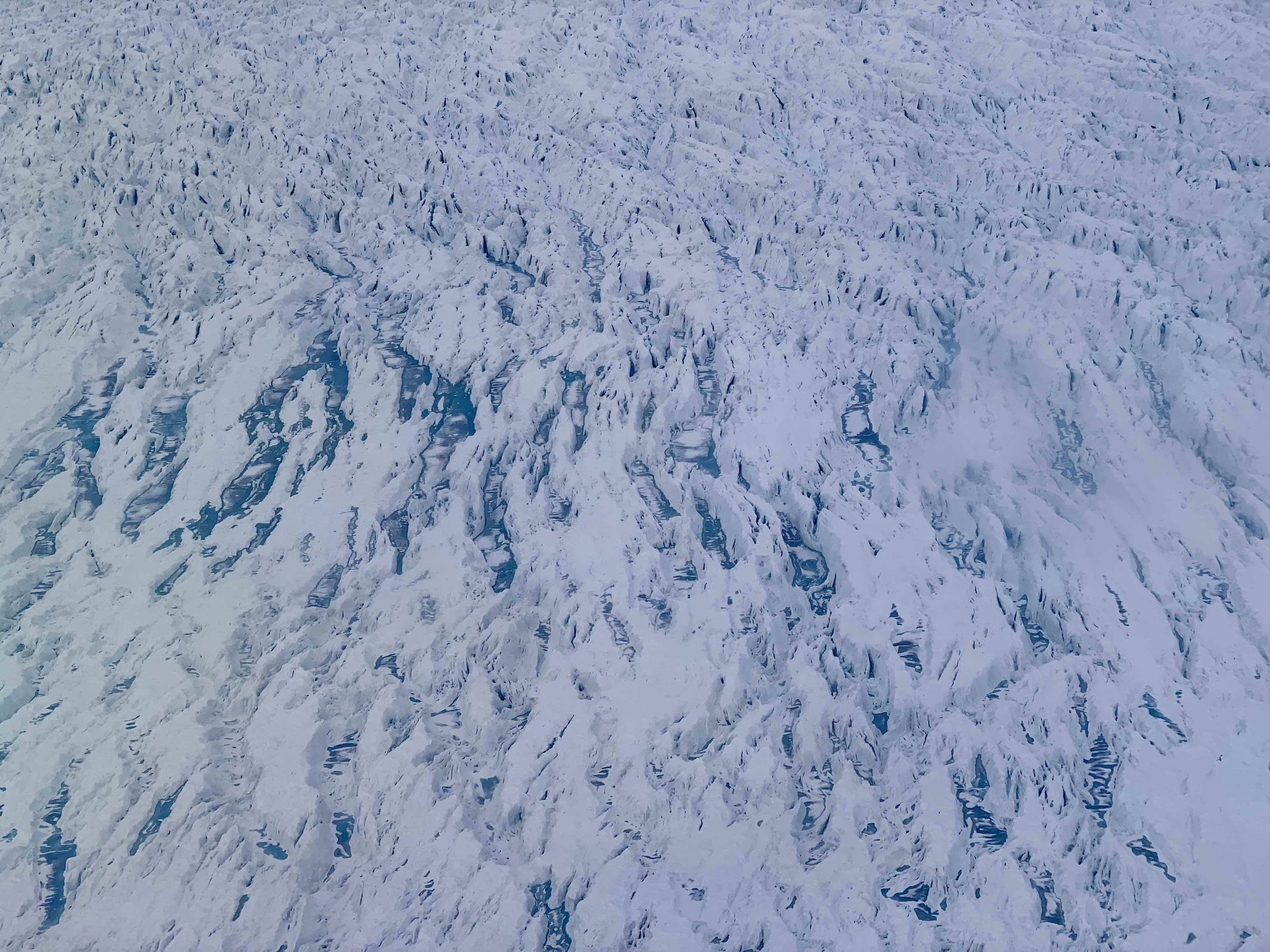
Ice-ocean interactions are accelerating melting into Amundsen Sea Embayment

Loss of vegetation cover is most stark in desert ecosystems already on edge of habitability

UCI scientists quantify impact with NASA satellite data and simulations
UCI, NASA JPL project tracking Earth-sensing satellite turnover yields striking results