Greenland’s fjords are far deeper than previously thought, and glaciers will melt faster, researchers find
West Greenland’s fjords are vastly deeper than rudimentary models have shown, allowing intruding ocean water to badly undercut glacier faces, which will raise sea levels around the world much faster than previously estimated, a UCI-led research team has found.
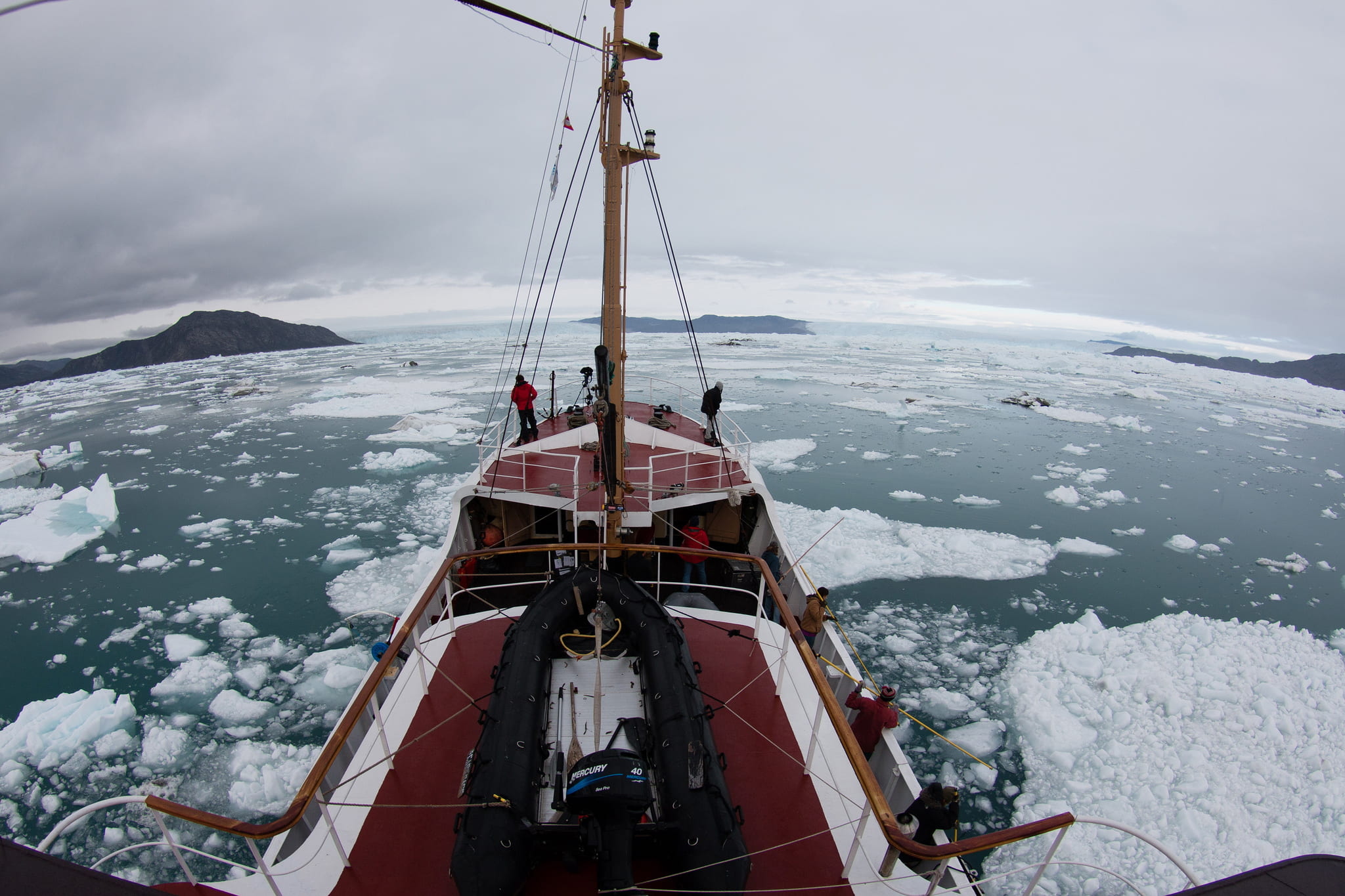
West Greenland’s fjords are vastly deeper than rudimentary models have shown, allowing intruding ocean water to badly undercut glacier faces, which will raise sea levels around the world much faster than previously estimated. Those are the findings of a UCI-led research team that battled rough waters and an onslaught of icebergs for three summers to map the remote channels for the first time. The results have been accepted for publication in Geophysical Research Letters and are now available online. “Measurements are challenging to obtain beneath hundreds of meters of seawater in poorly charted, ice-infested fjords,” writes lead author Eric Rignot, a UCI glaciologist with a secondary appointment at NASA’s Jet Propulsion Laboratory. He and co-authors Ian Fenty of JPL, Cilan Cai and Yun Xu of UCI, and Chris Kemp of TerraSond Ltd. obtained and analyzed around-the-clock measurements of the marine waters and their intersection with the coastal edge of Greenland’s ice sheet. They discovered that some glaciers are perched on giant earthen sills, protecting them from the punishing salt water – for now at least – while others are being severely eroded out of sight beneath the surface, meaning they could collapse and melt much sooner than expected. “Numerical ice sheet models do not take into account these interactions and, as a result, underestimate how fast the glaciers will respond to climate warming,” Rignot said. To see video, photos and a narrative of the August 2014 expedition, visit https://wp.communications.uci.edu/greenland.